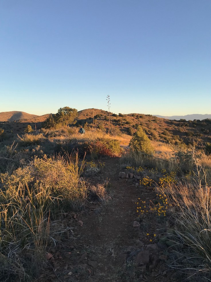
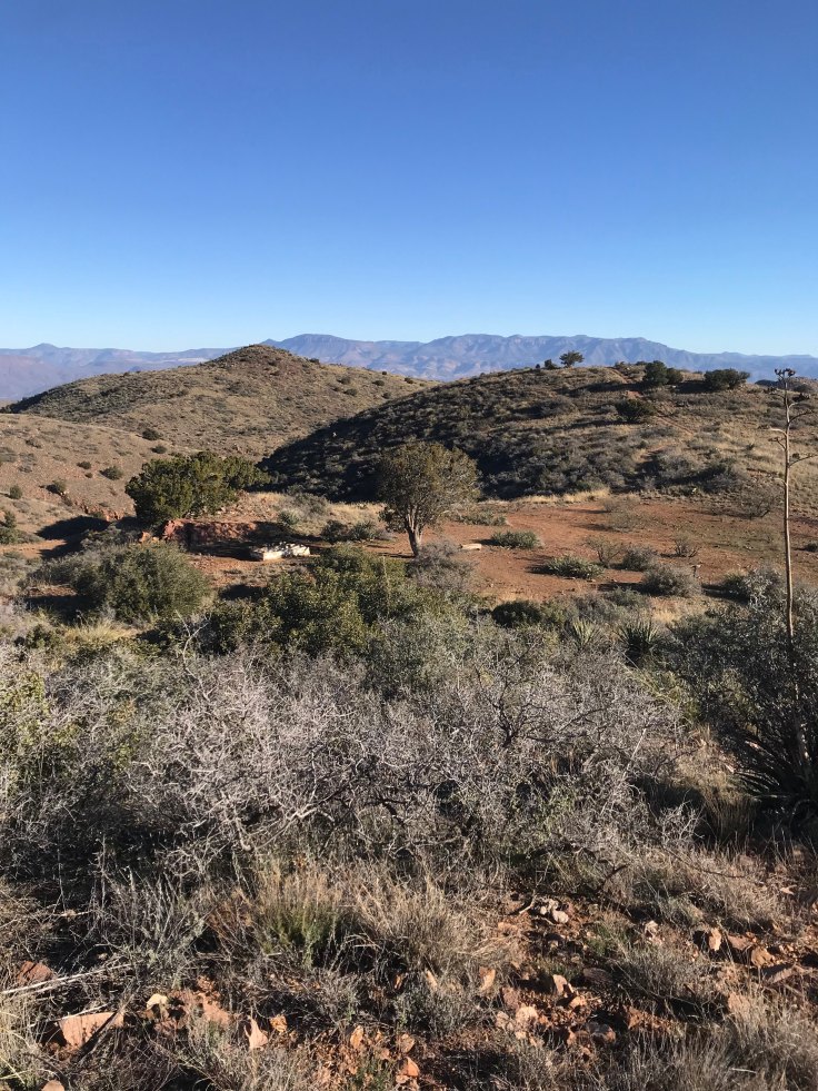
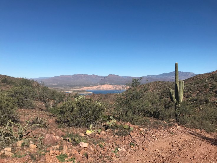
We were up at 5:30, packing up so we could make up the miles. After a quick and light breakfast, we said farewell to Glenn and began our ascent in the dark. The trail was rocky and steep, and the adjacent ridgeline began to glow from the sunrise as we got to the top. By then, the wind was blowing cold and strong, and we could see a tiny piece of Lake Roosevelt.

We traveled along multiple ridge lines as the sun came up. We jogged a little, taking advantage of the somewhat level and less-rocky section. The sunrise illuminated Four Peaks and the Salt River to the west, providing the best views of the trip.


We got to the Tule trail junction shortly before 8. We were back on schedule, but also thankful we hadn’t attempted to camp there. On the ridge, it was much colder and the wind was relentless. We probably would not have fared well.


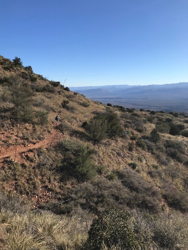
We wanted to finish our trip around 12:30, and we still had 14.5 miles to go with less than 5 hours to do it. Most of the remaining trail was downhill, so we had anticipated being able to move fast. But first, we had to complete another grueling uphill climb. Wearing our puffies, gloves, and beanies, we kept on going.

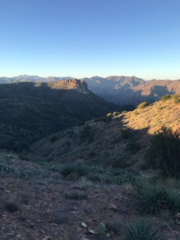
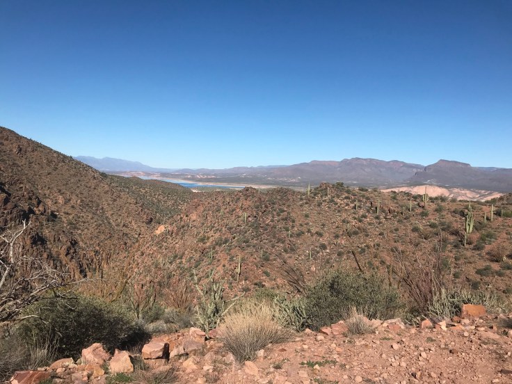
Reaching the top, we could see the lake again and where the salt river carved itself into the valley floor. Dropping to the other side, we passed through a gate and came upon one of many cattle troughs.

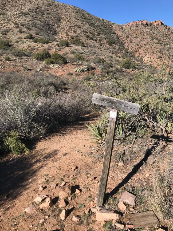
Like cattle ourselves, we followed a dirt road down the mountain. It was so steep and rocky in places, and we were frustrated at the inconvenience. To make it easier on our feet and ankles, we followed cow tracks that lead us parallel to the road on much nicer terrain. After passing an empty corral, we hopped on the Cottonwood trail.


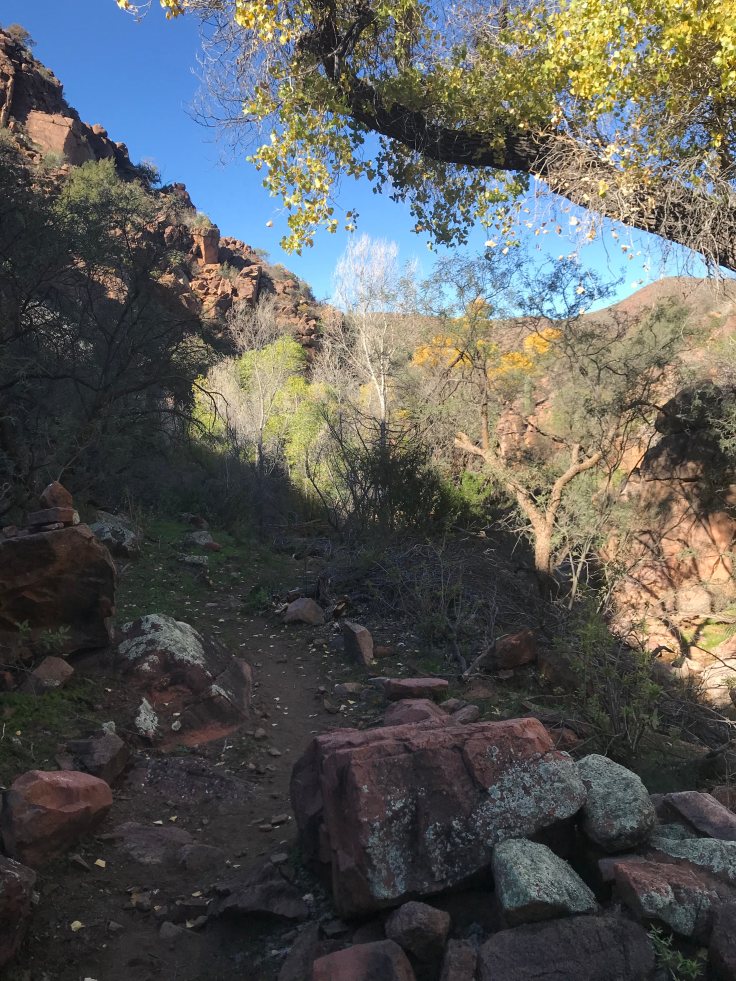
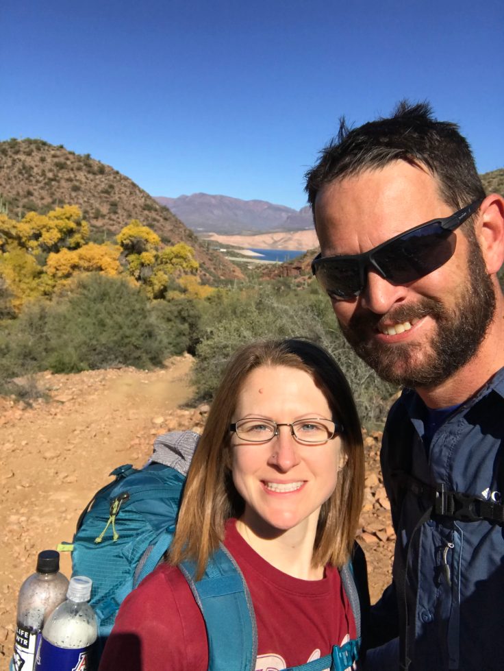
The trail lead us down a wash, crisscrossing it several times. Cow pies littered the trail almost as bad as the rocks did. Soon we entered Cottonwood spring. Talk about a desert oasis. Shade was plentiful and fall colors were on full display with the mix of cottonwood and sycamore trees.


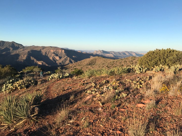
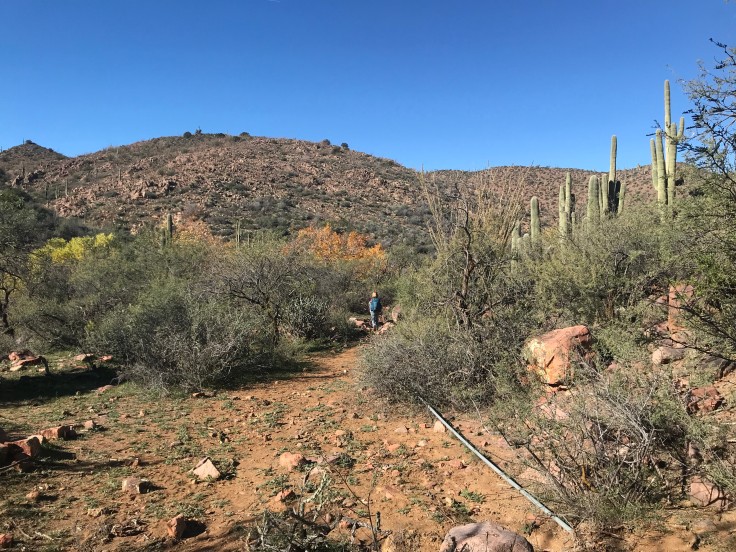
The trail followed the wash through the canyon as we traded the trees for saguaros. We followed the pipes that were supplying troughs with water until we got to another corral. This one had a huge tank and a generator to power the pump.


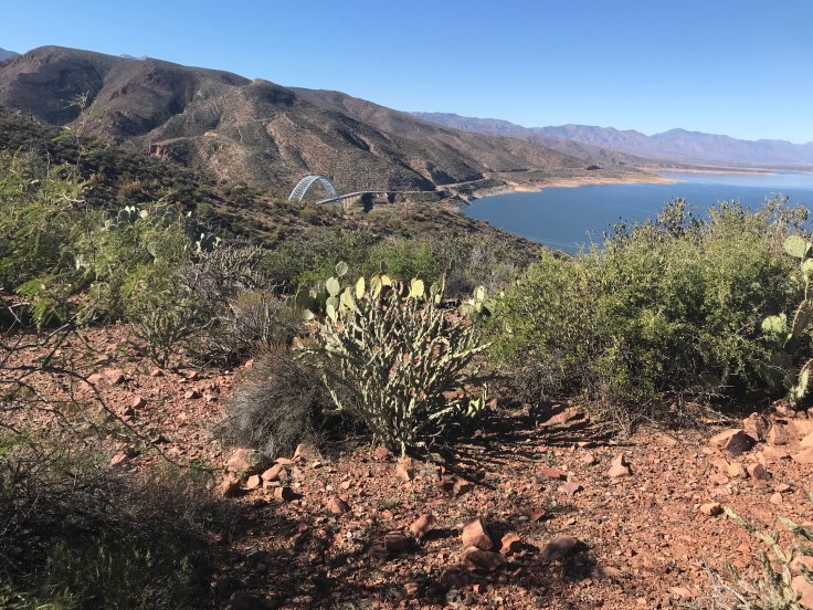
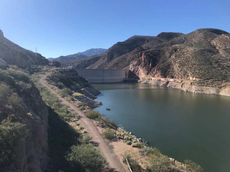
From there, we hopped back onto a dirt road. Rocky like the previous one, we hated every step of it. We both fell a couple times, once bruising Heather’s shoulder. Finally, we came to a cattle guard and a view of the lake’s marina. Civilization was near!

But it was no straight shot or easy hike from there. We still had 3 miles of up-and-down to go. It was noon, so we weren’t going to make our desired time. Plus it was getting warm, we were in full sun, and we were both on our last liter of water. With the will to finish, we pushed on even though the trail kept taking us away from the lake.

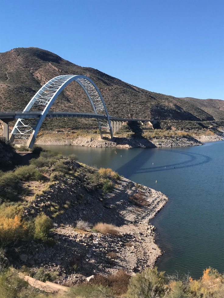
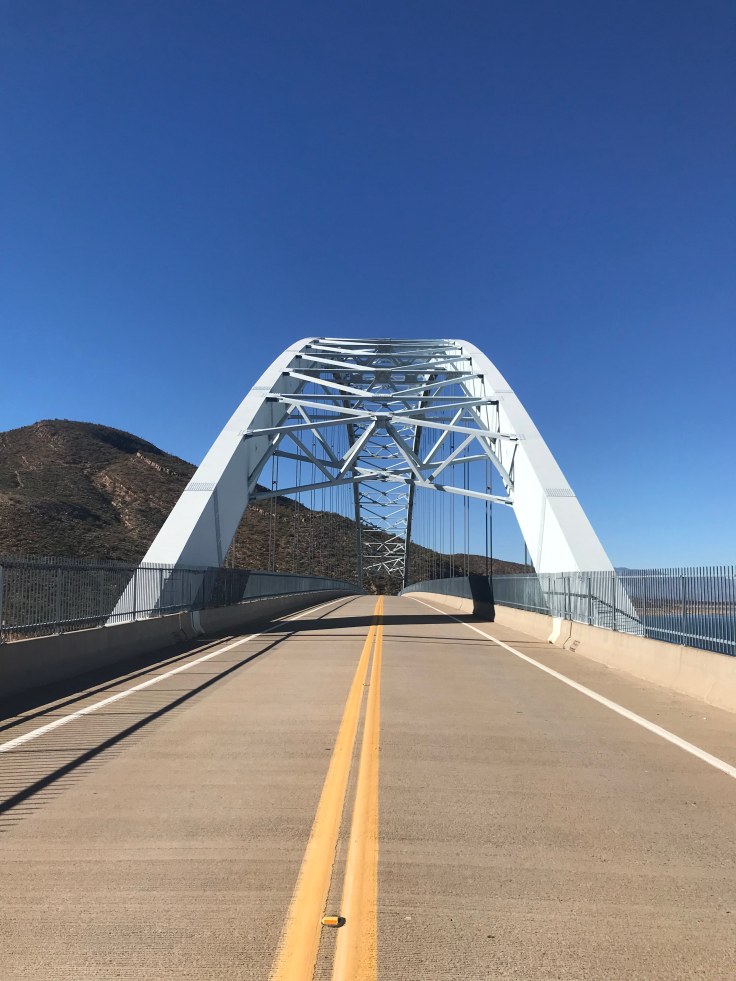
Finally, we spotted Roosevelt Bridge. Our car was parked on the other side of it at the Vineyard trail head.

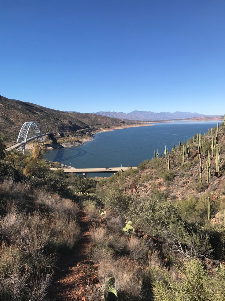
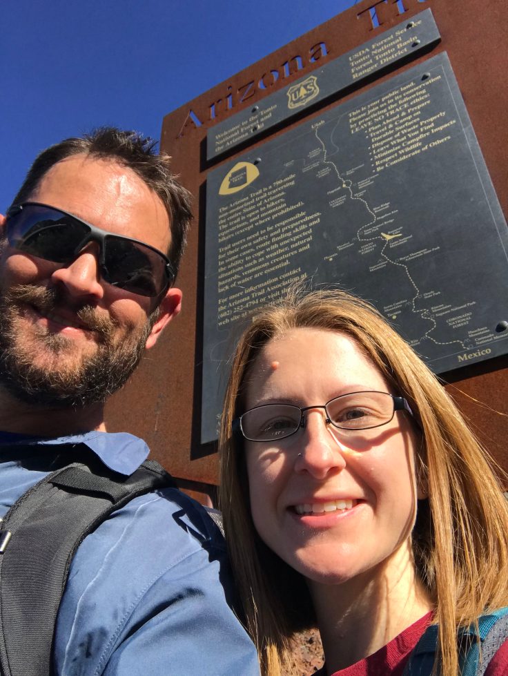
We arrived at the end of the trail and snapped a selfie at the sign near highway 188. Then it was a short walk across the bridge. We had successfully crossed back over from the wilderness.

Before driving off, we left 5 gallons of public water at the trail head. Then Heather shuttled me back to the van where I left a note on the Malibu that we had made it out at 1:30.
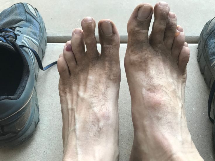
PS – here’s a shot of my dirty feet after taking off my shoes. Notice the big blisters on both of my 4th toes.
Day 3: 16.4 miles
Total miles on trip: 52.1
AZT miles completed: 47.3
See what was in Dave’s pack.
See what was in Heather’s pack.

I LOVE reading about your hikes and seeing the photos. You are 2 tough people! Thanks so much for sharing.
You would ace the Camino de Santiago.
LikeLiked by 1 person